Within The Park is approximate area of 1,114 sq.km. The National Park is the source of Ping River, consisting of high...
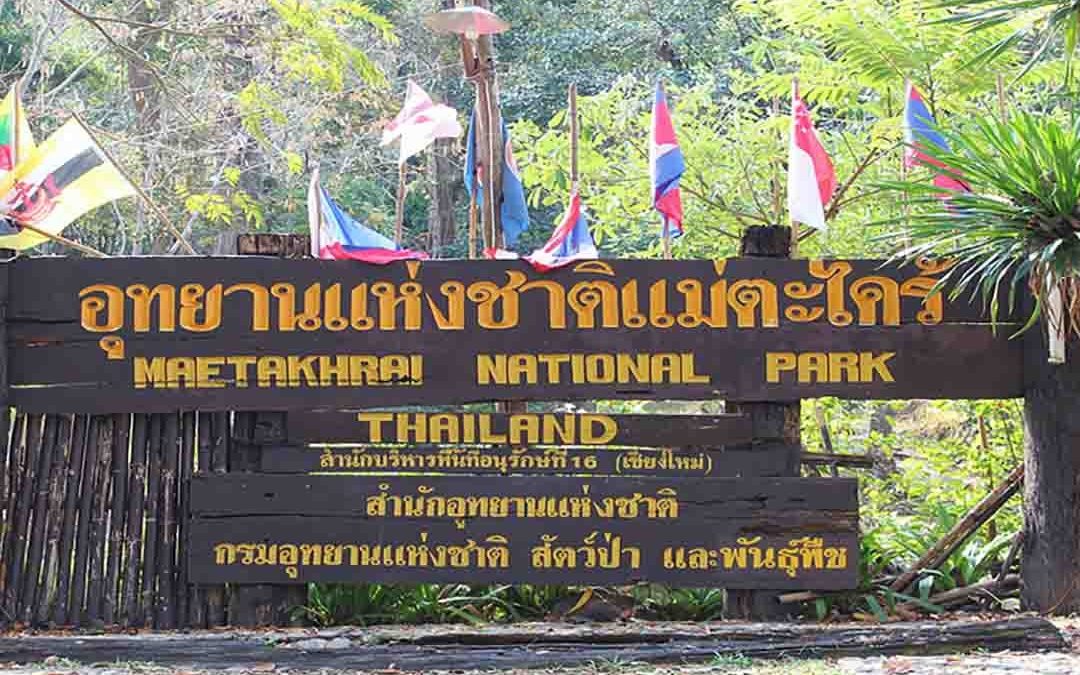
Within The Park is approximate area of 1,114 sq.km. The National Park is the source of Ping River, consisting of high...
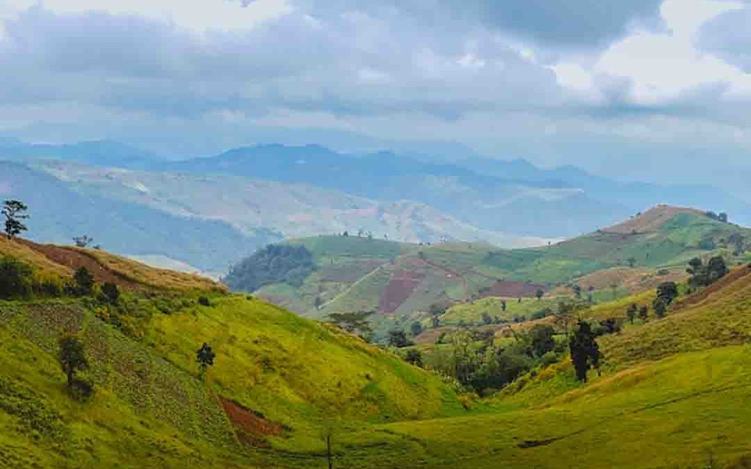
Mae Tho National Park comprises 990 square kilometers and covers mountain terrain in Hot and Mae Chaem, Chiang Mai...
Covering 894 sq km, Mae Wang is situated in the Dawna Range, West of Thailand in Nakhon Sawan and Kamphaeng Phet...
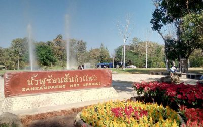
Sankamphaeng Hot Springs - The place where the Thai families traditionally go to spend time together. For a very pleasant day out that is off the beaten track you should go to the Sankamhaeng national Park. The Sankamhaeng Hot Springs, about 36 kilometers from Chiang...
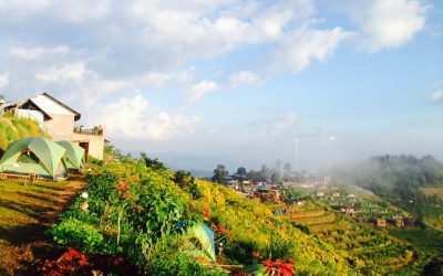
Mon Cham - is located about an hour from Chiang Mai at 1,250 meters above sea level, on a hillridge in a less discovered area campsite within the Nong Hoi Royal Project. Today, it is one of the largest producers of vegetables for the Royal Project...
Mae Ai - Thaton is a little sleepy town, situated between Chiangmai and Chiangrai Provinces in an unknown part of North Thailand From Chiang Mai you reach Ban Thaton by bus. Buses depart from Chiang Mai’s Chang Puak bus station. The air conditioned bus runs several...
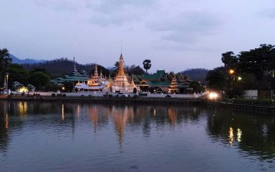
Mae Hong Son - often referred to as “the valley of three mists”, Mae Hong Son is one oft he most beautiful provinces in Thailand. The province’s total area is some 12,000 square kilometers, mostly mountainous and forest-covered . Mae Hong Son can easily be reached...
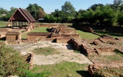
Wiang Kum Kam - or“the reason King Mengrai built Chiang Mai.” 1286 King Mengrai founded Wiang Kum Kam. It was the capital of the Lanna empire for a period of only 10 years. Because the town regularly flooded, Mengrai decided to move the capital to his newly...
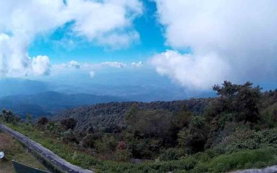
Doi Inthanon - Part of the Himalayan mountain range, Doi Inthanon also know as "The Roof of Thailand" at 2,565 metres above the sea level ,the National Park covers an area of 482.4 square kilometers in three districts of Chiang Mai province. The park is part of...
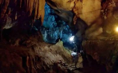
Chiang Dao as well know at his nickname “City of Stars” which pertains to the limestone peaks that stick out above the green valley. Chiang Dao Caves are situated approx 70 km north of Chiang Mai on a good highway. The Caves are one of the main attractions in the...
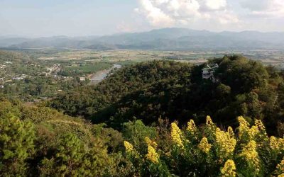
Ban Mae Kampong is about 50km north east of Chiang Mai, situated around 1,300m above sea level in Chiang Mai's Mae On district, Ban Mae Kampong is locally famous as a centre for the production of pickled tea leaves. A handful of beautiful wooden cottages built on a...